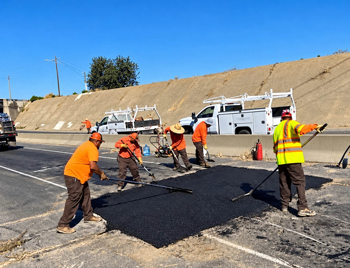
The Public Works Department is responsible for the construction, maintenance, and repair of 39.6 miles of City streets as well as alleys, sidewalks, bike paths, and other vehicle and pedestrian rights-of-way within the City of Livingston. Department employees stripe City streets and maintain all street lights, street signs, traffic lights, and traffic control devices such as speed limit signs and stop signs.
Street System Description
The City's goal is to provide a street system that (1) minimizes excessive traffic congestion and (2) provides a quick, efficient route for emergency vehicles (including police, fire, and other vehicles) responding to calls for service. To achieve these goals, the Public Works Department works to: establish a safe and efficient transportation system with adequate access throughout the City; provide safe transport and delivery of goods in and out of the City; maintain safe and efficient circulation routes for safety and emergency purposes; maximize the efficiency of the existing street system and promote traffic safety; maximize the use of site planning techniques to improve traffic safety; upgrade and maintain existing transportation corridors to meet urban safety standards; protect rights-of-way for future street development; promote a parking program that meets the needs of each land use while reducing the need for parking; and provide various transportation modes throughout the City.
Highway 99 is a four-lane controlled-access freeway that traverses the City, with interchanges at Hammatt Avenue and Sultana Drive–Liberty Avenue; Main Street crosses Highway 99 at a grade separation without freeway access. Major and minor arterial streets provide regional circulation and link the community with Highway 99, collector streets provide access to major commercial and employment centers and some abutting land uses, and local streets provide access to individual residences and businesses. Arterial streets serving the City include Liberty Avenue, Sultana Drive, Campbell Boulevard, Westside Boulevard, Washington Avenue, Livingston-Cressey Road, Main Street–Lincoln Boulevard, and Olive Avenue. Collector streets include Walnut Avenue, F Street, Peach Avenue, Robin Avenue, Dwight Avenue, and Hunter Avenue.
Street Classifications & Cross Sections
Livingston's street improvements include several classifications. Arterial streets are planned as four-, six-, or eight-lane streets with two to four 12-foot travel lanes in each direction and a medianized center lane available for left-turn pockets or a continuous two-way left-turn lane. Collector streets are typically one through lane in each direction with a similar medianized center lane.
8-Lane Major Arterial Streets (170-foot right-of-way) are the largest roads in the City, with four travel lanes in each direction plus a landscaped median with turn lanes and a service/bicycle lane in each direction; on-street parking is prohibited. 6-Lane Major Arterial Streets (134-foot right-of-way) have three travel lanes in each direction plus a landscaped median with turn lanes and a service/bicycle lane; on-street parking is prohibited. 4-Lane Minor Arterial Streets (110-foot right-of-way) provide two travel lanes in each direction. Downtown Arterial Streets (70-foot right-of-way) provide a 12-foot travel lane in each direction with on-street parking and bike lanes, prioritizing pedestrian access through downtown. Commercial Collector Streets (96-foot right-of-way) provide one through 12-foot lane in each direction plus a striped center turn lane, on-street parking, and bicycle lanes. Residential Collector Streets (86-foot right-of-way) provide one through lane in each direction and a raised median, accommodating either on-street parking or a bicycle lane but not both, and are typically spaced at approximately one-mile intervals. Local Residential and Cul-de-sac Streets (60-foot right-of-way) provide access to local neighborhoods with a 12-foot travel lane in each direction and eight feet of parking or a bike lane. On arterial and collector streets, driveway consolidation is encouraged through joint access agreements.
Street Cross-Section Drawings
Major Arterial Street cross section (8-Lane & 6-Lane) (opens in a new tab)4-Lane Minor Arterial Street cross section (opens in a new tab)Downtown Arterial Street cross section (opens in a new tab)Commercial Collector Street cross section (opens in a new tab)Residential Collector Street cross section (opens in a new tab)Local Residential & Cul-de-sac Street cross section (opens in a new tab)Truck Traffic, Routes & Parking
Truck routes are designed to move heavy truck traffic through the City and are designated on the Truck Route Map (link below). Heavy truck traffic is limited to designated arterial and collector streets, away from local residential streets. Parking of commercial vehicles with a gross vehicle weight rating of 10,000 pounds or more is prohibited on streets or building sites in residential areas, except for the pickup and delivery of persons or goods.
Truck Route Map (PDF) (opens in a new tab)